


The plan is located in the eastern part of Mazkeret Batya, in the open area between the existing settlement in the west and the railroad in the east. The plan proposes the establishment of a residential area in an area of approximately 1,199 dunams, which includes 3,357 units of which 300 units are in sheltered housing and 272 very small housing units, commerce in a built area of approximately 6,700 square meters of main areas and employment in an area of approximately 79,000 square meters of main areas. The plan complies with the overall outline plan of Mazkeret Batya and is linked to the urban fabric of the existing settlement through a peripheral traffic system connected to the settlement's existing road system. Also, kindergartens and a school were established in accordance with the program for public buildings. The plan allows for the relocation of the upper voltage line that crosses the plan's area from south to north to east of the railroad - Tatal 79.

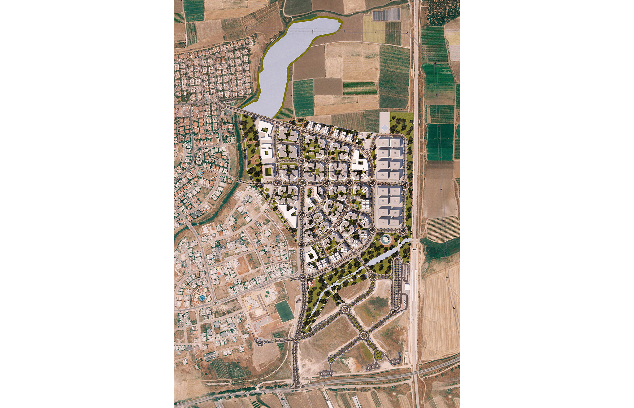 Above view
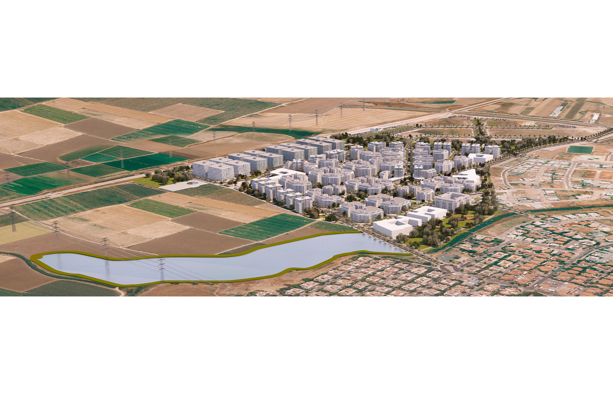 North west view