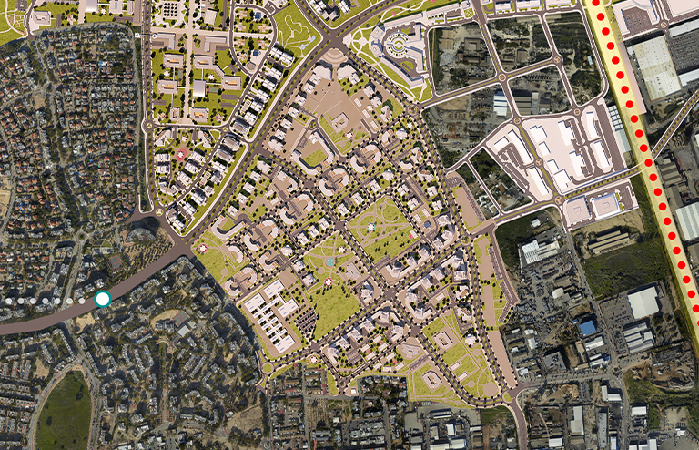
The plan offers an urban fabric that integrates into the existing residential grid and connects in the transportation aspect to the existing road system that surrounds the area of the plan. The area of the plan is about 750 dunams with an average construction density of 15 units per dunam and 3,726 units in saturated construction of buildings with a height of about 7-14 stories. The plan is characterized by two central blocks located in the heart of the new neighborhood that combine next to them two plots of land designated as existing cemeteries, around these blocks high-rise buildings overlooking extensive green areas as well as complexes with commercial facades and a main square in the heart of the neighborhood were erected. Also, public buildings were erected in accordance with the program for public buildings which include one comprehensive school, two elementary schools as well as kindergartens, dormitories and community centers scattered in the neighborhood according to the allowed walking distances. The purpose of the program: creating and adapting a planning framework for the establishment of a residential area, for public institutions, commerce, employment, the National Police Service and a cemetery integrated into an adapted road system.


 A view of the central avenue from west to east
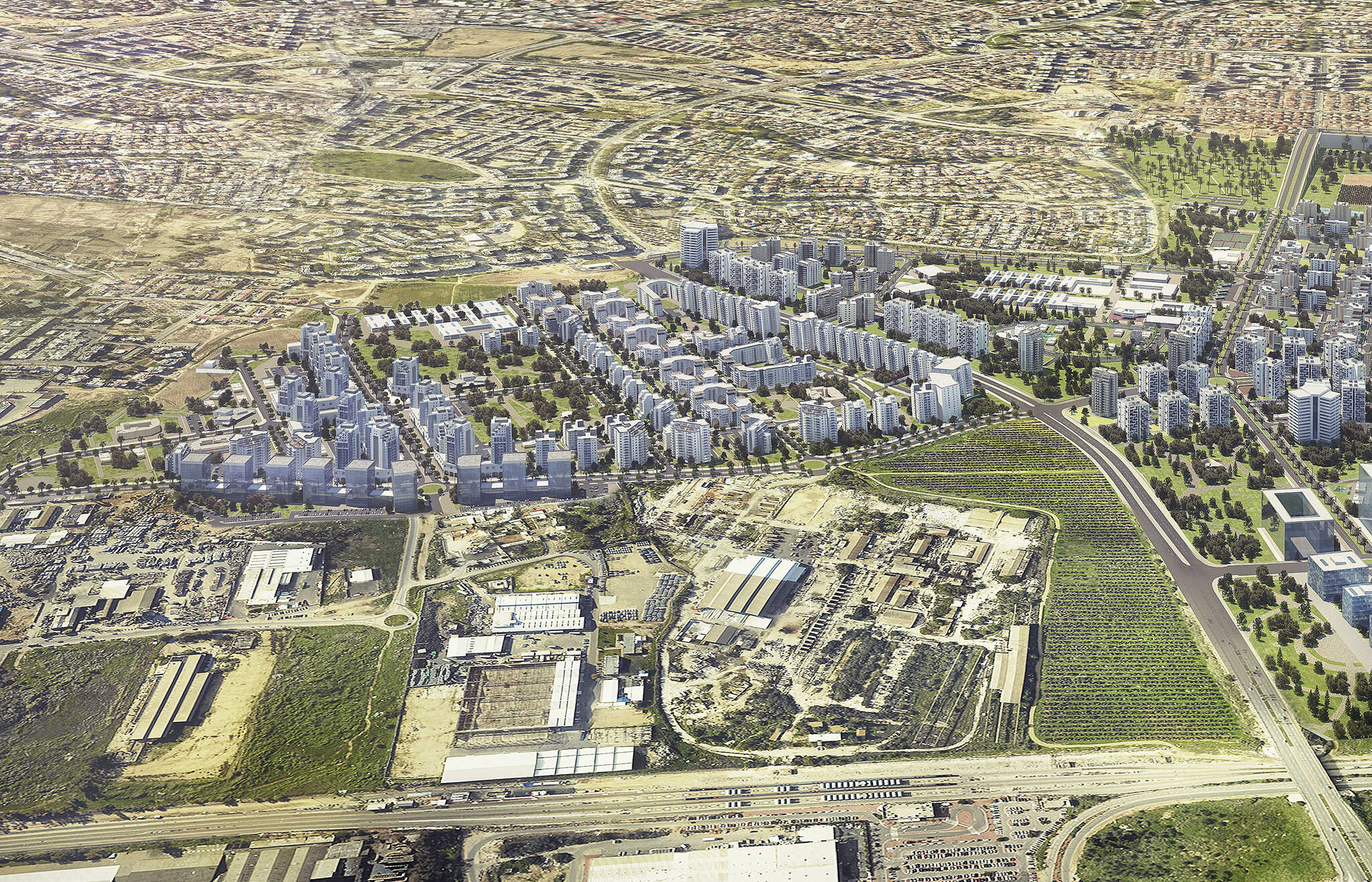 South view from east to west
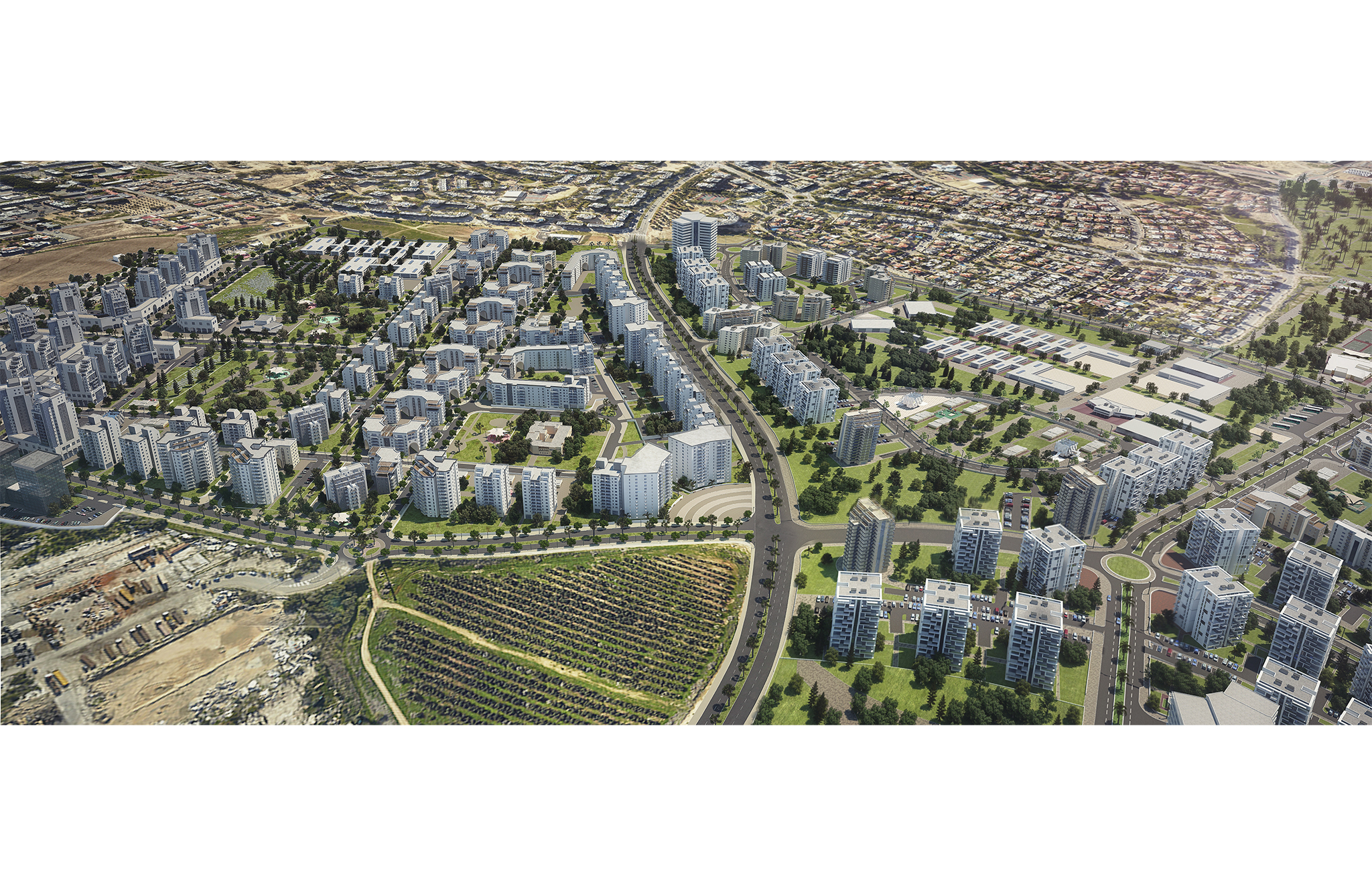
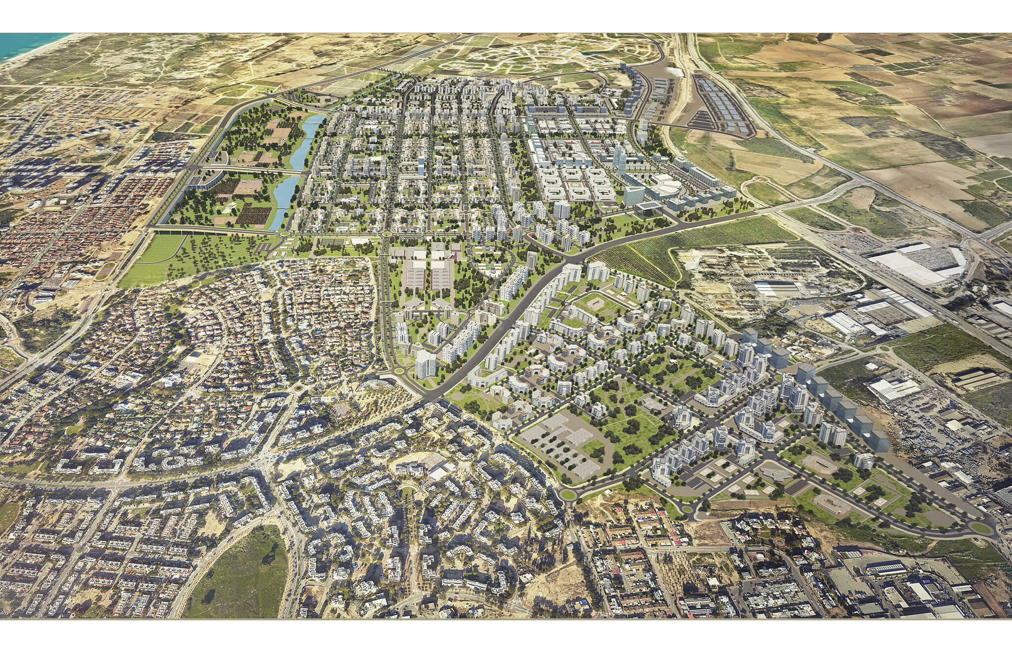 View from south to north
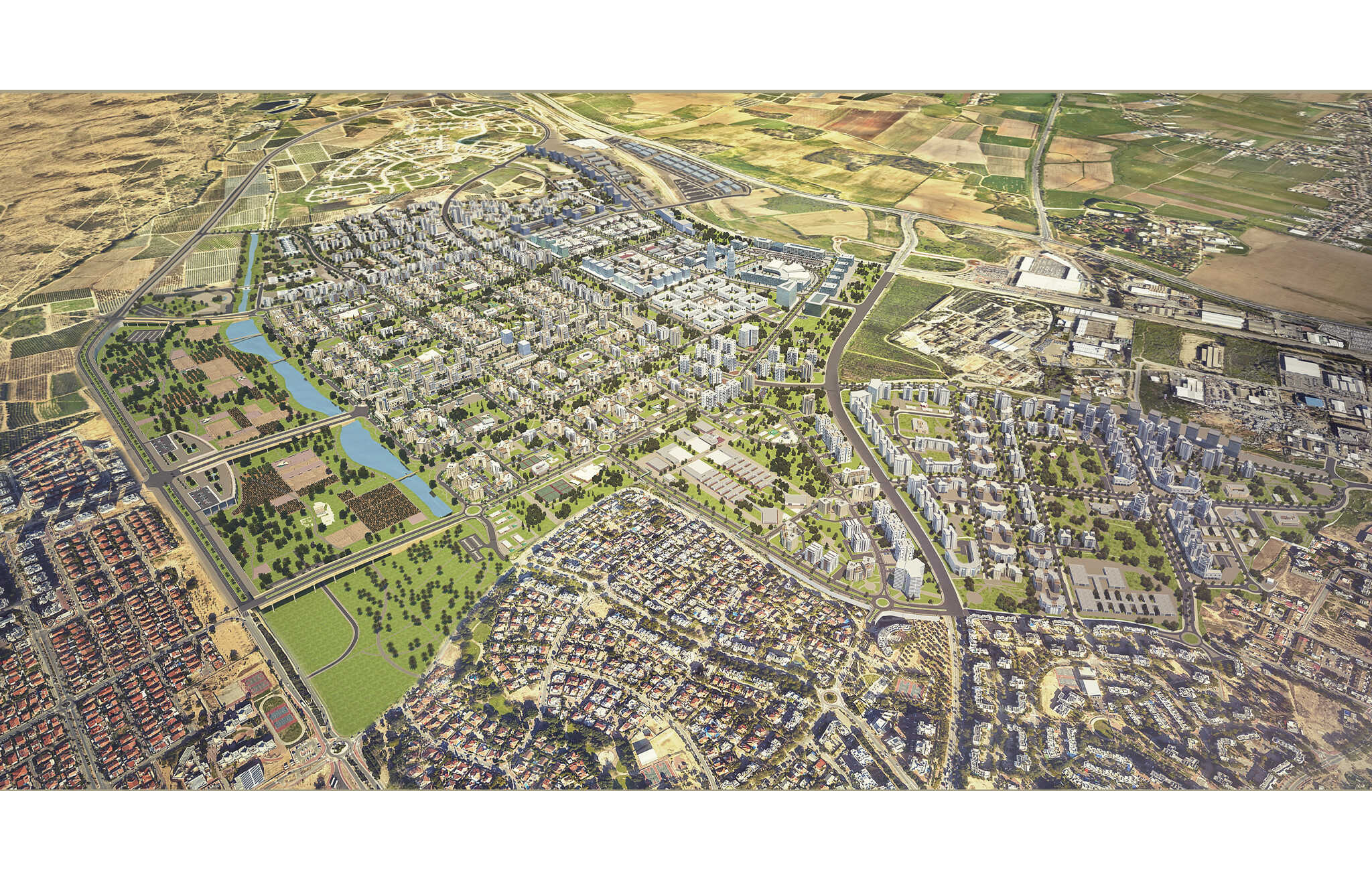 View from southwest to east
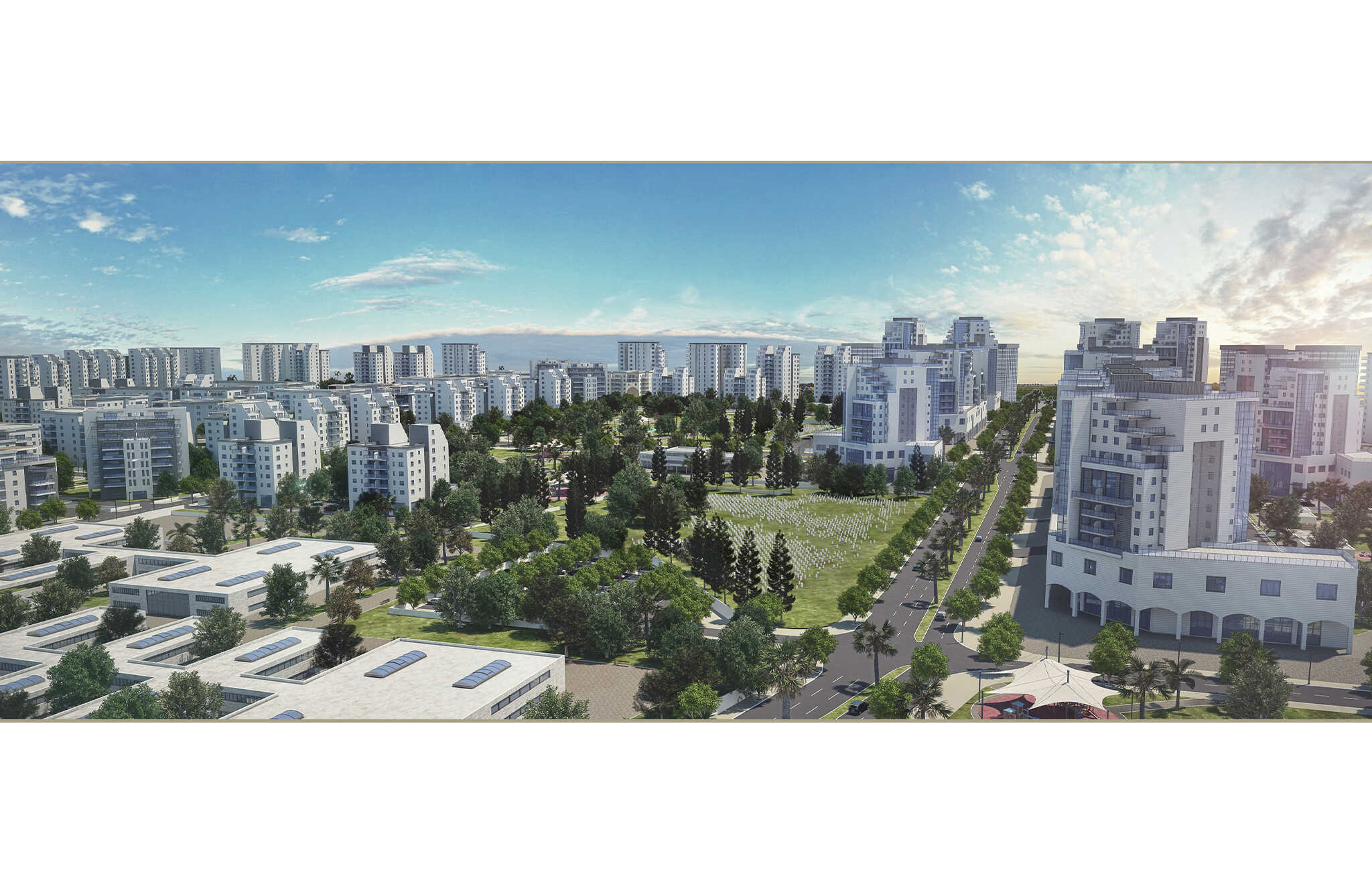 A view from west to east
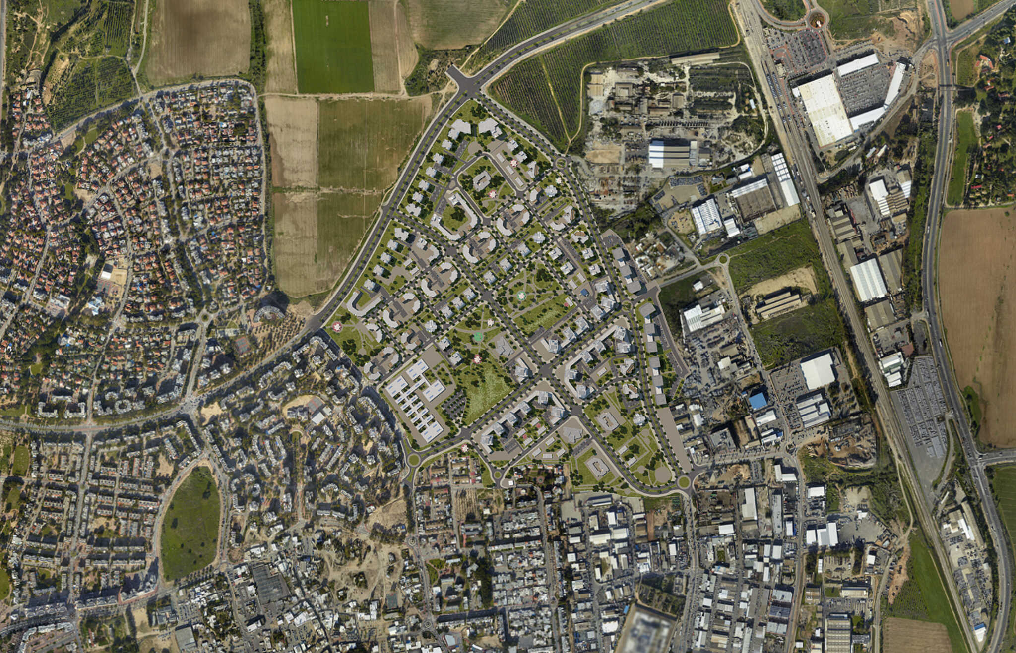
 Connecting Even Ezra to M7 from east to west
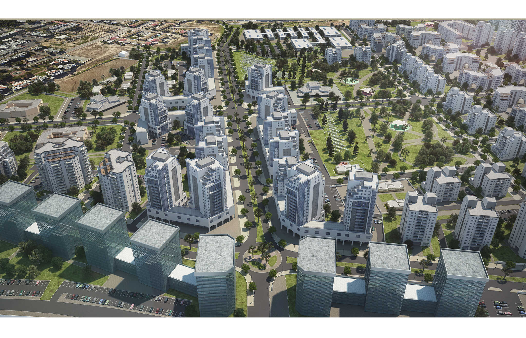 A view of the main avenue from east to west
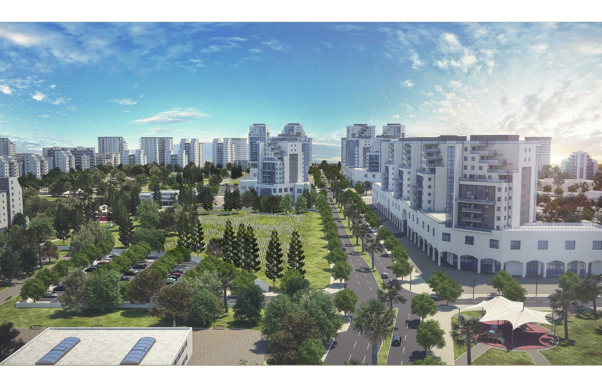
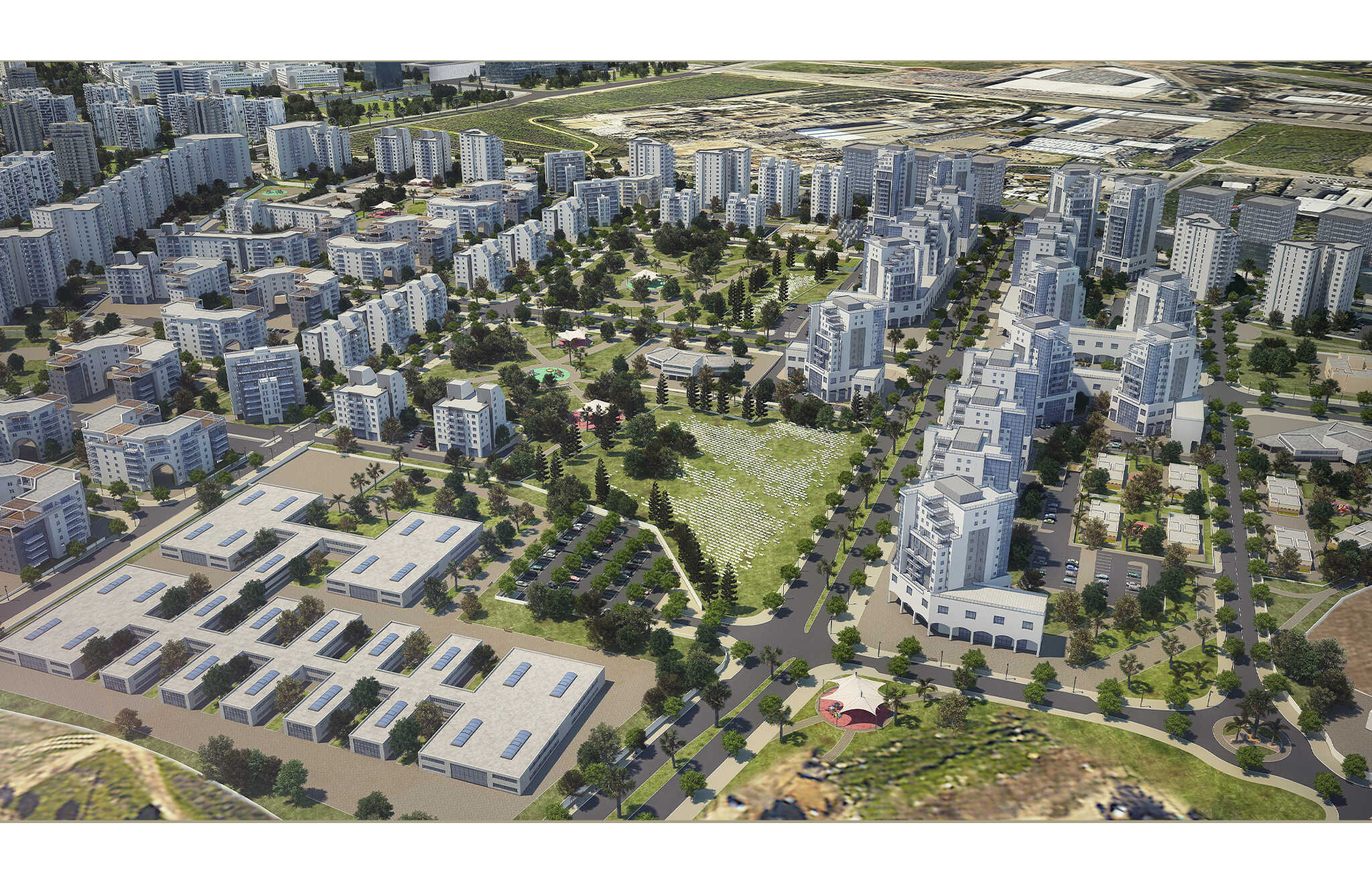 A view of the central avenue from west to east (2)