


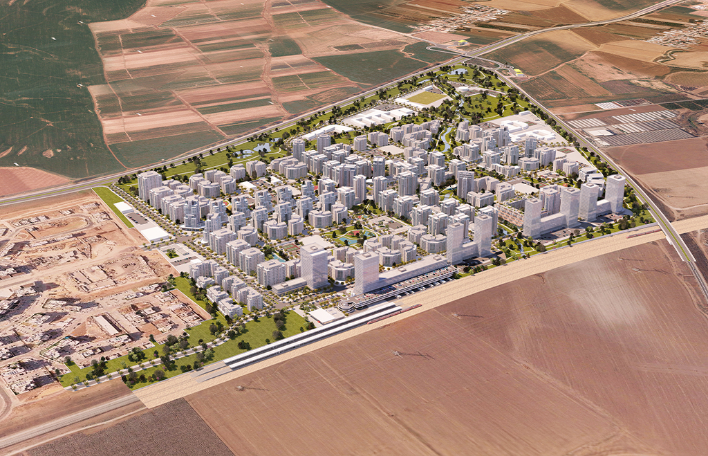
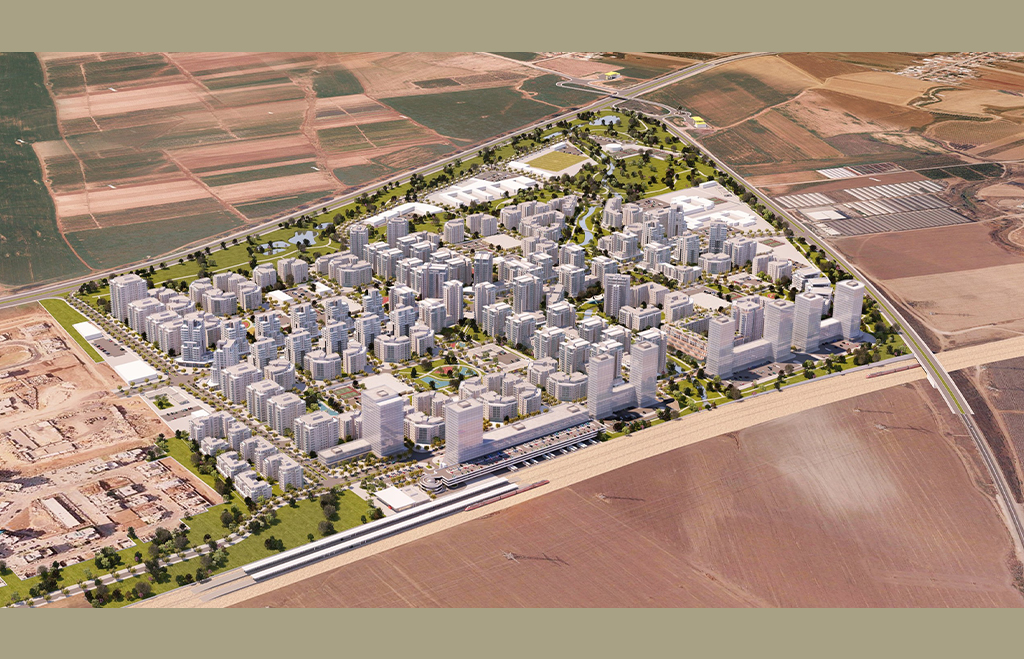
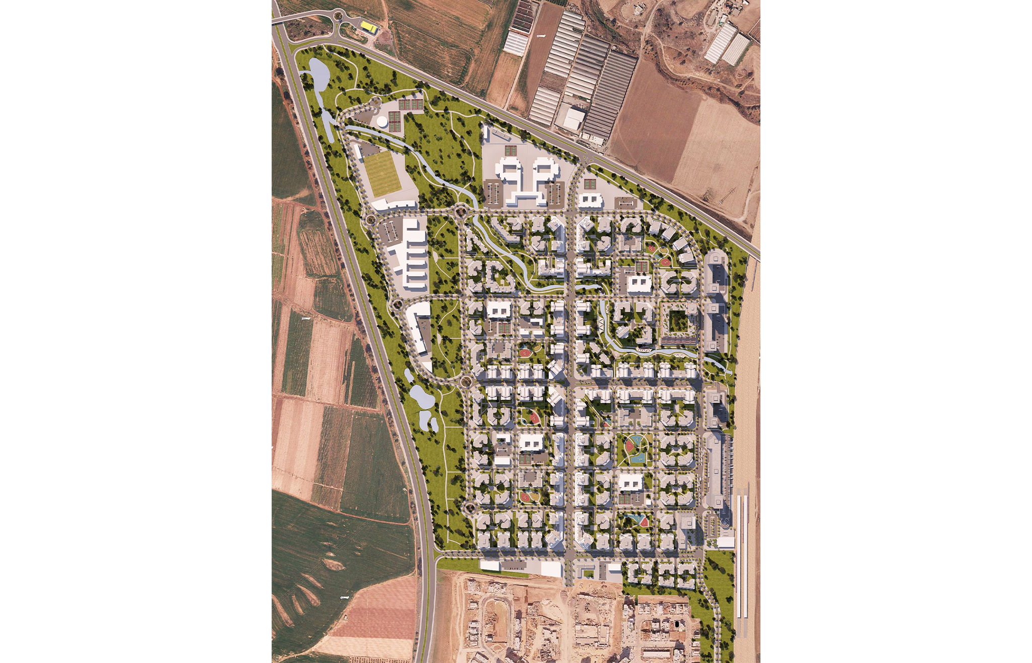
The plan is located in an area north of Carmei Gat in an agricultural area whose borders are in the east - the Tel Aviv-Be'er Sheva railway, in the north - road 353, in the west - road 40 and in the south the neighborhood of Carmei Gat. The plan completes the urban texture of Kiryat Gat and is compatible with the new comprehensive outline plan of the city that designates the area for residences and is currently in the deposit stages. The plan is outside the jurisdictional limits of the city as well as outside the urban fabric area of Kiryat Gat according to TMA 35. The plan is part of a change in the zoning within the framework of which the jurisdiction of the city of Kiryat Gat will be increased northward to road 353. In addition, there is another connection in the western part of The plan is adjacent to Highway 40 along the infrastructure strip of the pedestrian connection gas line. The purpose of the plan: The plan offers textured construction and saturated construction to a height of between 7 - 18 stories. At a gross density (in the area that includes the infrastructure corridor and the iron furnace) of 2.8 units/dunam and density net of 19 units/dunam. The total proposed construction areas are: residential 498,500 square meters main area including sheltered housing, employment approximately 100,000 square meters, commerce approximately 20,000 square meters. Also, approximately 158 one dunam for public buildings and about 205 dunams for open public areas. All the parking was planned underground. And the cover area was increased to up to 50% of the lot area.

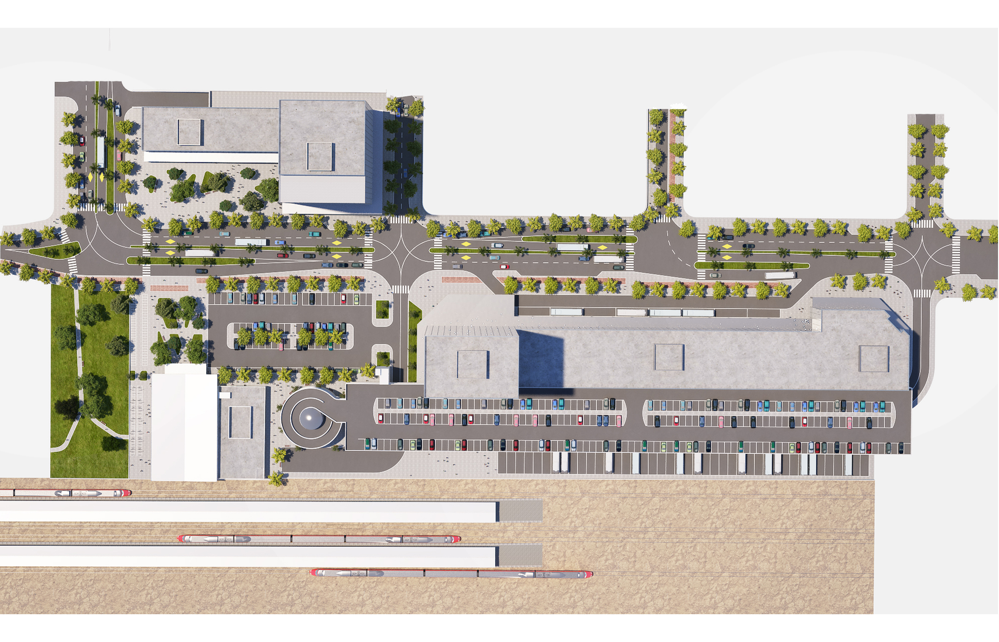 Transportaion Center
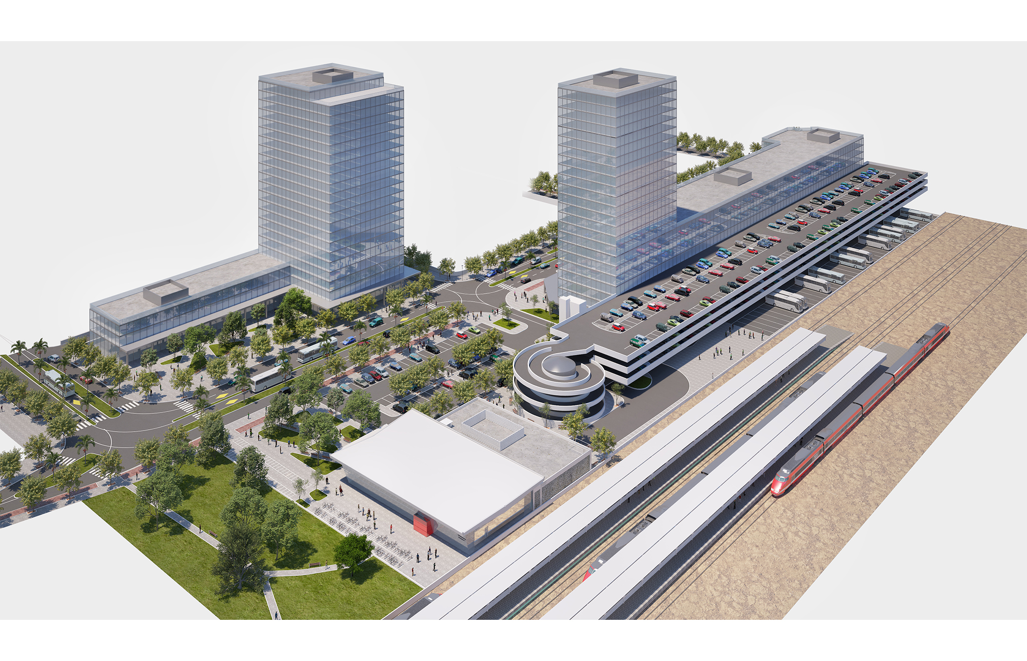 Transportaion Center
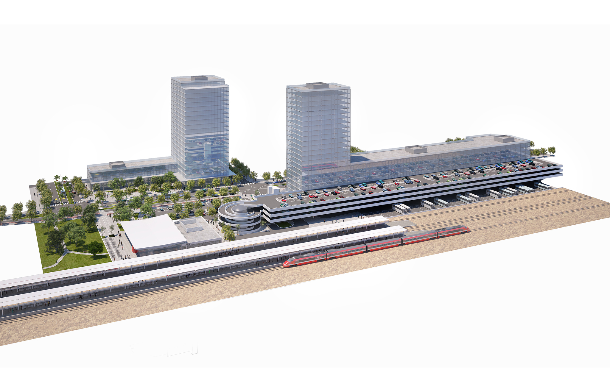 Transportaion Center
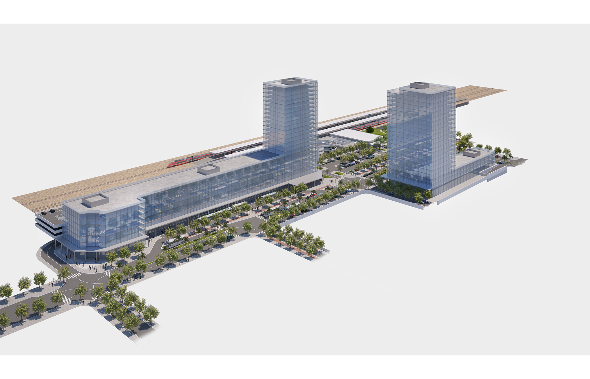 Transportaion Center
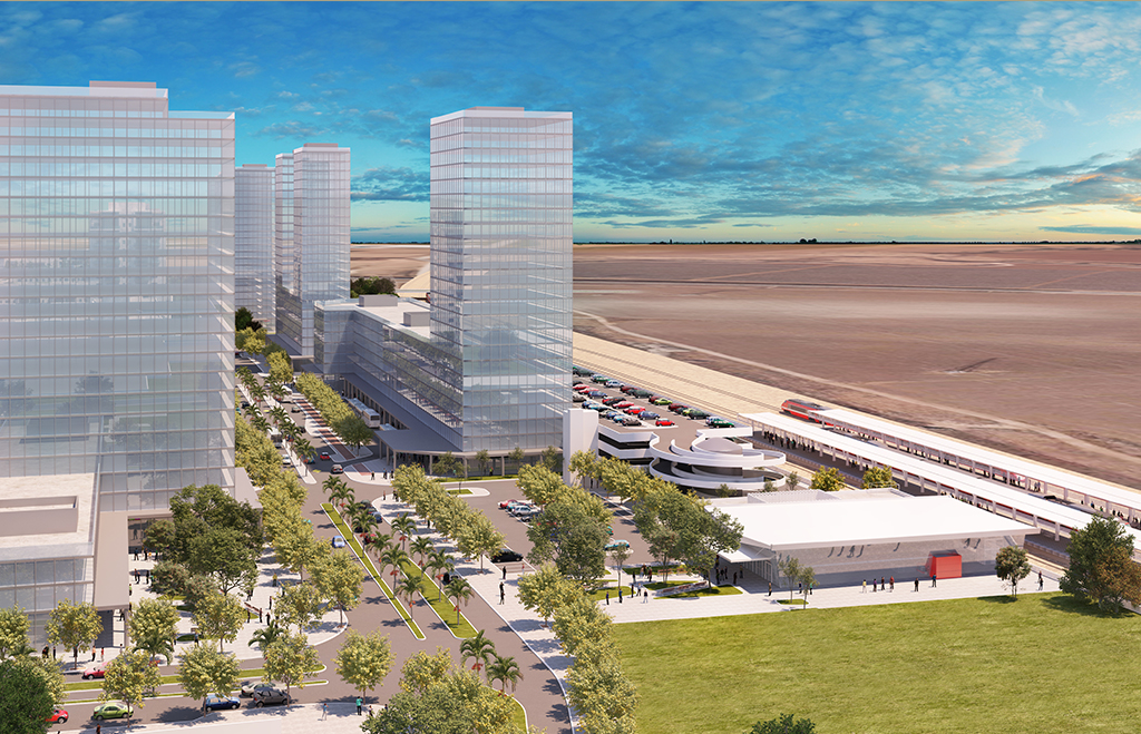 Transportaion Center